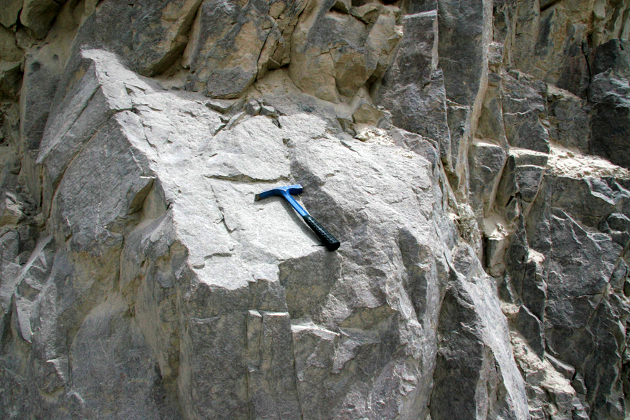
Kzisuhumu Fm
Type Locality and Naming
Tieklik region (SW Tarim Basin). The Kzisuhumu Fm was named by Ma Shipeng et al. 1979 and was published by Ma Shipeng in 1989. The typical section is situated in the Kzisuhumu valley of the north slope of the west Kunlun Mountain.
[Figure: Type section of the Kzisuhumu Fm]
Synonym: (克孜苏胡木组)
Lithology and Thickness
Lower part of the Kzisuhumu Fm consists of light gray, reddish purple, greenish gray to greenish yellow, thin- to medium-bedded calcareous sandstone, siltstone and shale intercalated with minor thin-bedded quartzose sandstone and dolomite. Upper part is dominated by gray, red purple, purple gray and roseate dolomite, occasionally intercalated with thin beds of greenish gray glauconite quartzose sandstone. Its thickness is variable and locally the uppermost part or even the whole sequence is absent. The thickest place is in the Xinjiang with 353.4 to 371 m thick; but going westward to Tufuluk valley, the formation is completely denuded.
Relationships and Distribution
Lower contact
The Kzisuhumu Fm rests disconformably on the underlying Kurkak Fm
Upper contact
It is unconformably overlain by the Devonian Qizinafu Fm
Regional extent
Tieklik region (SW Tarim Basin). It is mainly distributed in Kzisuhumu valley west of the Xinjiang-Tibet Road and south of Yecheng County, and westward to the Halastan river area.
GeoJSON
Fossils
The Kzisuhumu Formation yields microplants (totally 35 genera and 51 species), dominated by Micrhystridium poratum, Pseudodiacrodium tenerum, Pseudofavososphaera sp.
Age
Depositional setting
Additional Information
